

SVAMITVA (Survey of villages and mapping with improvised technology in village areas)
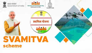
SVAMITVA (Survey of villages and mapping with improvised technology in village areas) a Central Sector scheme of the Ministry of Panchayati Raj provides a ‘Record of Rights’ to village household owners with the issuance of legal ownership cards (Property cards/Title deeds) to the property owners by mapping land parcels using drone technology.
How does the scheme work-
- The scheme uses drone technology to map land parcels in rural areas.
- The scheme issues property cards to property owners.
- The scheme helps reduce property-related disputes.
- The scheme helps improve the assessment of properties and property tax.
- The scheme helps create accurate land records for rural planning.
- The scheme helps create survey infrastructure and GIS maps.
Who implements the scheme-
- The Ministry of Panchayati Raj is the nodal ministry for implementing the scheme.
- The Revenue Department / Land Records Department is the nodal department in the states.
- The Survey of India is the technology partner for implementation.
Beneficiary:
Rural households and property owners who gain clear ownership rights and accurate land records.
Benefits:
The scheme helps bring financial stability to rural citizens, promote socio-economic empowerment, create a more self-reliant rural India and enable institutional credit through bank loans.
How To Apply
Not Applicable